Top Mountaineering Destinations in China, Tibet and Xinjiang
Depending on how it is measured, China is either the third or fourth-largest country on Earth and is incredibly diverse.
From tropical rainforests in the south to the dunes of the Gobi Desert in the north and the windswept, mountain-studded plateaus in the west, there are plenty of incredible landscapes to explore.
However, most mountaineers tend to turn their attention to the high peaks of the Tibet Autonomous Region and Xinjiang Uygur Autonomous Region. These two regions are the largest in China and are home to its tallest and most sought-after summits.
Eight of the world’s 14 highest peaks are located in the majestic Himalayas, which run along the southern border between Tibet and Nepal. Farther north, the rugged Karakoram, Kunlun and Tian Shan mountain chains pass through Xinjiang.
The mountainous areas of these two regions are remote. Therefore, any expedition to climb them takes time and planning. For now, the borders to China remain closed as a result of the Covid-19 pandemic.
While most nationalities visiting China require a visa, climbers headed to Tibet or Xianing will need to apply for additional permission to enter these regions. As a result, it is never too early to begin planning your next mountaineering expedition to China.
Below we’ve included a list of the top five trekking and climbing destinations to help you decide which peak you’d like to tackle next!
1| Everest via the Northeast Ridge
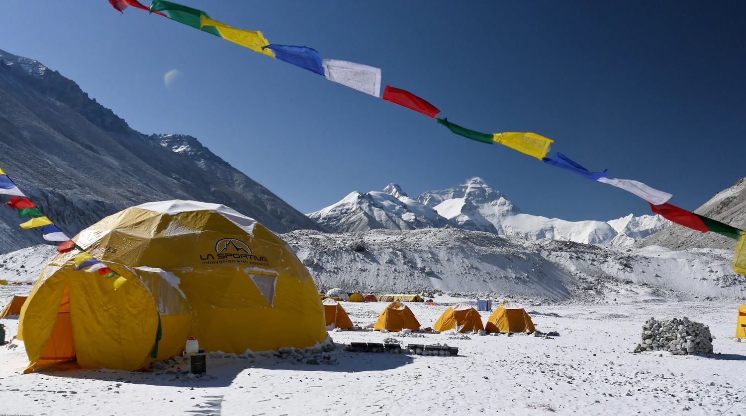
Rising to an imposing 8,848 metres (29,029 feet) in elevation, Mount Everest is the highest point on Earth and, as a result, one of its most sought-after mountaineering destinations.
While the South Col route, from the Nepalese side of the mountain, is climbed most frequently, it is also possible to reach the top of the world from the Tibetan side.
While the northern side is considered more accessible, with a paved road leading directly to the base camp, the Northeast Ridge route is far more challenging than any leading to the summit from the Nepalese side.
Keep reading: Climbing The Seven Summits: Facts & Information
Most trips to Everest via the Northeast Ridge route begin with a flight into Tribhuvan International Airport (KTM), in Kathmandu, Nepal, or Lhasa Gonggar Airport (LXA), the Tibetan capital. Most guides will opt to meet at the airport and provide transport to base camp, which will involve a few days of driving and acclimatising.
Climbing Everest via the Northeast Ridge requires a high level of technical ability, physical fitness and the appropriate acclimatisation. This is especially important if climbers drive directly to the base camp.
Keep reading: Jim Davidson Tells the Story Behind His New Book: The Next Everest
The ascent via the Northeast Ridge requires a mix of highly-technical snow, glacier and mixed rock and ice climbing. Additionally, various stages of the climb are done on exposed ridgelines, which increases the difficulty, especially at high altitudes.
The Northeast Ridge route begins with an ascent of the medial moraine of the eastern half of the Rongbuk Glacier. Climbers then continue to the north col, before cutting across the north face diagonally and arriving at the Yellow Band. From here, climbers must traverse the dangerous and difficult three steps before reaching the summit.
Quick facts:
- Elevation: 8,848 m (29,029 ft)
- Duration: 45 days
- Climbing season: April to May
- Price range: $24,000 to $74,000 ($85,000 to $120,000 for a Flash expedition)
2| Cho Oyu
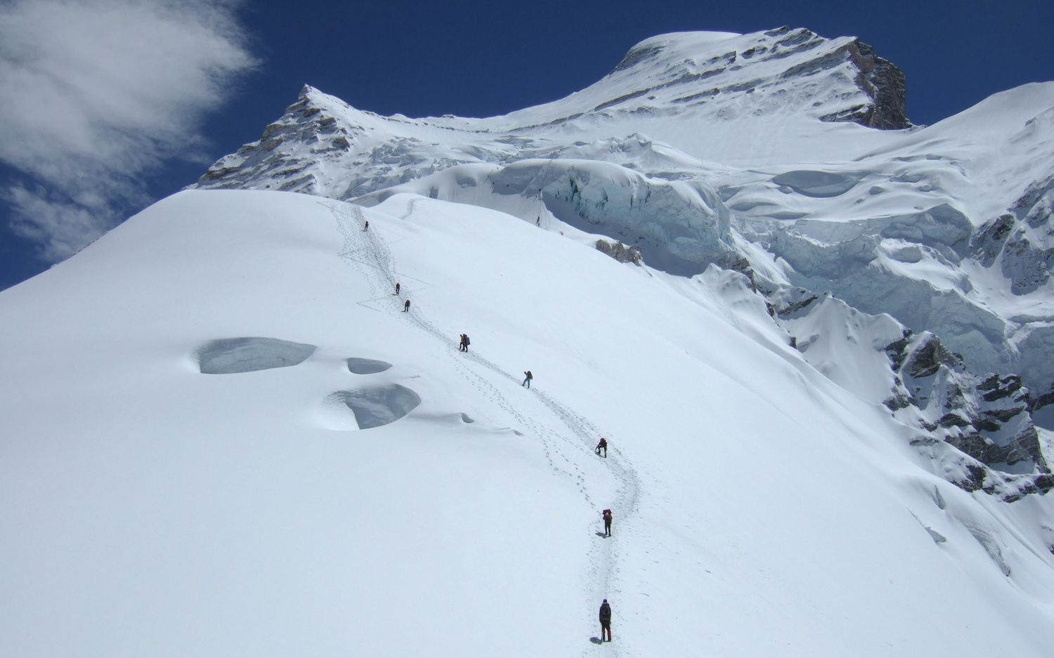
Situated about 20 kilometres (12 miles) west of Everest and straddling the border between Nepal and Tibet, Cho Oyu is the sixth highest mountain in the world and one of the most popular 8000ers to climb.
Part of this popularity is fueled by the relative ease of climbing the peak compared with the world’s 13 other 8,000-metre-high mountains. The Nepalese Mountaineering Association has classified Cho Oyu as a trekking peak, which means no technical ability is required to reach its summit.
As a result, Cho Oyu is the second-most climbed of all the 8000ers after Everest. Three times as many people climb Cho Oyu each year compared with the third most climbed 8000er, Gasherbrum II.
Most expeditions to climb Cho Oyu begin from one of two main starting points. The most common is to fly into Tribhuvan International Airport (KTM) and spend a couple of days driving north into Tibet (China) and on to the base camp. The other option is to fly into Lhasa Gonggar Airport (LXA) and spend a long day driving to the base camp.
Keep reading: What is Acute Mountain Sickness?
While Cho Oyu is classified as a trekking peak, making it to the summit is still a monumental undertaking and comes with its fair share of challenges. Potential climbers will still need previous snow and glacier climbing experience.
All of the most difficult climbing also takes place above 6,000 metres (19,700 feet), requiring a high level of physical fitness and proper acclimatisation to ensure a successful ascent. Before attempting to climb Cho Oyu, most guides recommend potential climbers have taken on at least one 7,000-metre (23,000-foot) peak.
One main route – the west ridge/west face route – is used exclusively to reach the summit of Cho Oyu by commercial guides. The route begins from the Nangpa La pass and requires a mix of snow and glacier climbing with two fairly technical sections en route to the summit.
Quick facts:
- Elevation: 8,188 m (26,864 ft)
- Duration: 6 weeks
- Climbing season: May to June, September to October
- Price range: $17,000 to $42,000
3| Muztagh Ata
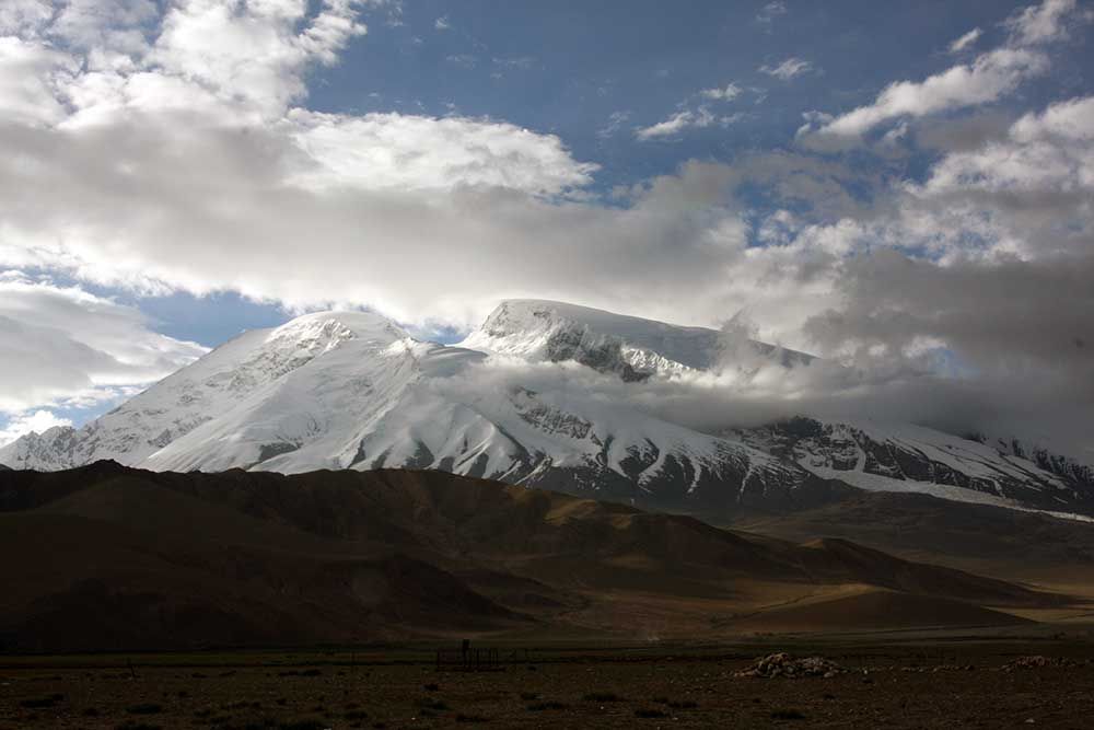
Meaning “ice father mountain” in the local Uyghur language, Muztagh Ata sits on the northern rim of the Tibetan Plateau.
At more than 7,500 metres (24,600 feet) in elevation, the peak is the second-highest on the northern rim of the plateau and one of China’s most popular mountaineering destinations.
One of the reasons for its popularity is the low level of technical ability required to climb the gentle western slope and dry climate of the region.
Most trips to Muztagh Ata begin with a flight into Kashgar Airport (KHG), which can be reached from any of China’s main airports. Most guides will opt to meet here and provide transport to the start of the trip.
Keep reading: Rolfe Oostra on the Hidden Costs of Low-Budget Operators
While Muztagh Ata is widely considered a trekking peak, potential climbers still need previous experience with snow and glacier climbing to make it to the summit successfully.
Beyond this minimal technical difficulty, Muztagh Ata requires a high level of physical fitness to climb and adequate accliamtisation. However, unlike other mountains of similar elevation, the climatic conditions at the top of the peak are less volatile.
Two main routes lead to the summit of Muztagh Ata. The normal route follows the northern slopes up the western side of the peak. This route is not steep, with a maximum grade of less than 40 degrees. The only major obstacle is a single icefall that climbers muist traverse.
The other route, which was historically used to climb the peak, also ascends the mountain via the western side. It is technically just as straightforward, but it is a bit longer than the normal route.
Quick facts:
- Elevation: 7,546 m (24,757 ft)
- Duration: June to September
- Climbing season: 25 days
- Price range: $5,000 to $8,500
4| Shishapangma
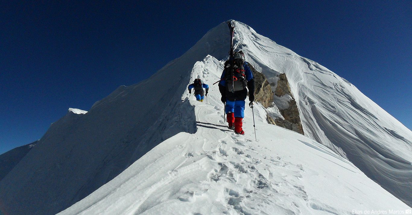
Situated on the northern slopes of the Himalayas, Shishapangma is the fourteenth highest peak on Earth and the eighth tallest in China. However, located 5 kilometres (3 miles) north of the country’s border with Nepal, it is the tallest mountain located solely in China.
Along with being the shortest of the 14 eight-thousanders, Shishapangma is also considered one of the easiest to climb. The peak boasts a long, steep and rugged 2,000-metre-high southern face, but climbing from the northern side of the mountain is less challenging.
Most trips to Shishapangma begin with a flight into Tribhuvan International Airport (KTM). Most guides will opt to meet here and arrange for transport to base camp, which takes about four days of driving and acclimatising. It is also possible to fly into Lhasa Gonggar Airport (LXA) and make the two-day drive to the base camp.
Keep reading: How to Train for Your Next Mountaineering Adventure
Despite being considered one of the easier 8000ers to climb, Shishapangma still provides plenty of challenges en route to its summit. The easiest routes only require some glacier and snow climbing experience. However, as with any 8,000-metre peak, a high level of physical fitness and appropriate acclimatisation are also required.
While about 10 different routes lead to the summit of Shishapangma, the normal route is the easiest and, as a result, the most popular. Climbing from the north of the peak, the route is not overly technical but does include a very narrow ridgeline connecting the central summit to the main one.
There are also about six separate routes that climb the peak’s imposing southern face for more advanced mountaineers seeking a challenge.
Quick facts:
- Elevation: 8,027 m (26,335 ft)
- Duration: April to May, October to November
- Climbing season: 4 to 6 weeks
- Price range: $17,000 to $30,000
5| Kailash
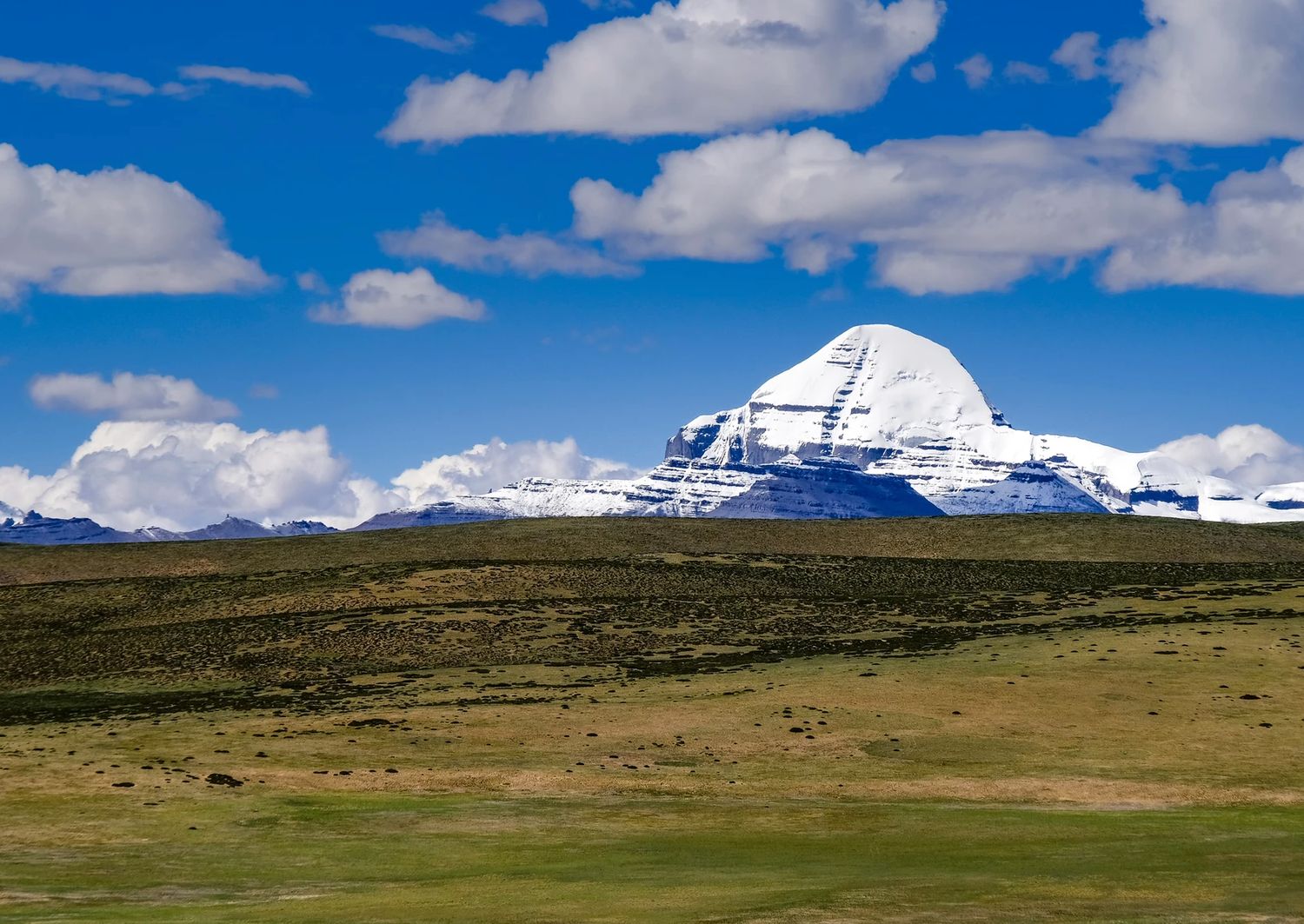
Towering over southwestern Tibet, Kailash rises 1,319 metres (4,327 feet) above the Tibetan Plateau and reaches an elevation of 6,638 metres (21,778 feet).
The mountain is located in a picturesque setting, amid the Gangdisê Mountains and near Lake Manasarovar and Lake Rakshastal, two of the sources of some of the longest rivers in the world.
Kailash is considered holy by the followers of four different religions – Bon, Buddhism, Hinduism and Jainism – and as a result, has never been climbed. However, it is the destination of a multi-day trek, which includes circumnavigating the mountain.
Keep reading: Five Popular High-Altitude Lake Treks in Nepal
Most trips to Kailash begin with a flight into either Tribhuvan International Airport (KTM) or Lhasa Gonggar Airport (LXA). Most guides will opt to meet at one of these two points and arrange transport to the start of the trip, which usually requires about two to three days of driving and acclimatising.
While the route that takes trekkers around Kailash is not technically difficult, it is physically challenging. The entire trek takes place at an elevation of 4,000 metres (13,100 feet) or above and includes substantial sections of moderate ascents and descents over uneven terrain.
One main route leads around the mountain. Most trekkers begin from Darchen before heading to Dirapuk Monastery, crossing the Tara Pass, arriving at Dzultripuk Monastery and returning to Darchen.
Quick facts:
- Trekking distance: 52 km (32 miles)
- Duration: 4 days (2 weeks including arriving at the starting point and acclimatisation)
- Climbing season: May to October
- Price range: $3,000 to $7,500
Start planning your next Chinese mountaineering expedition now!
Tibet and Xinjiang are home to some of the world’s most exciting and beautiful mountaineering destinations.
However, planning an expedition to China takes time and planning. Ahead of the reopening of the borders, begin planning your next adventure of a lifetime now!